Ring between Val Rezzo and Valsolda
Discover the ring between Val Rezzo and Valsolda: in the heart of a Ceresio valley
Route characteristics:
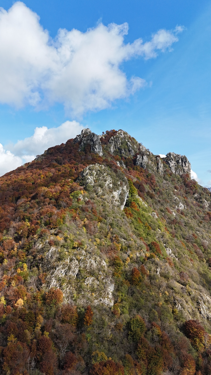
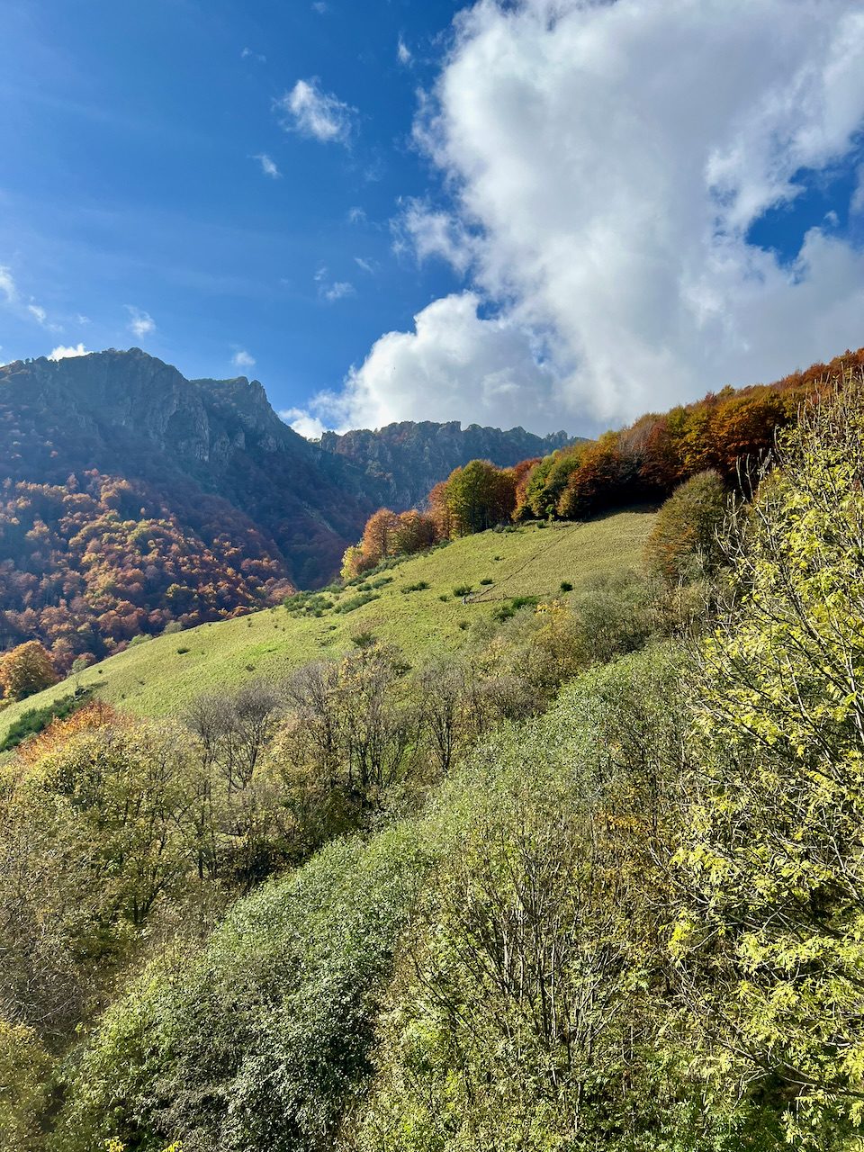
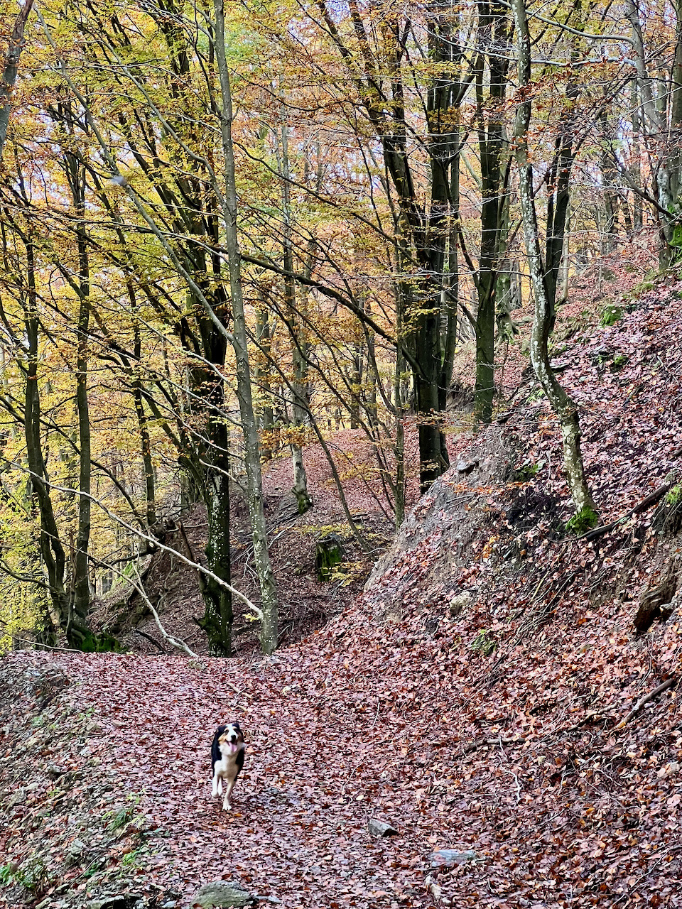
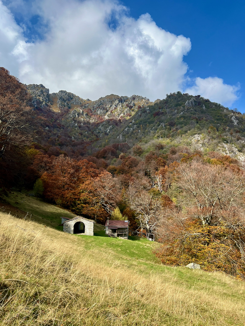
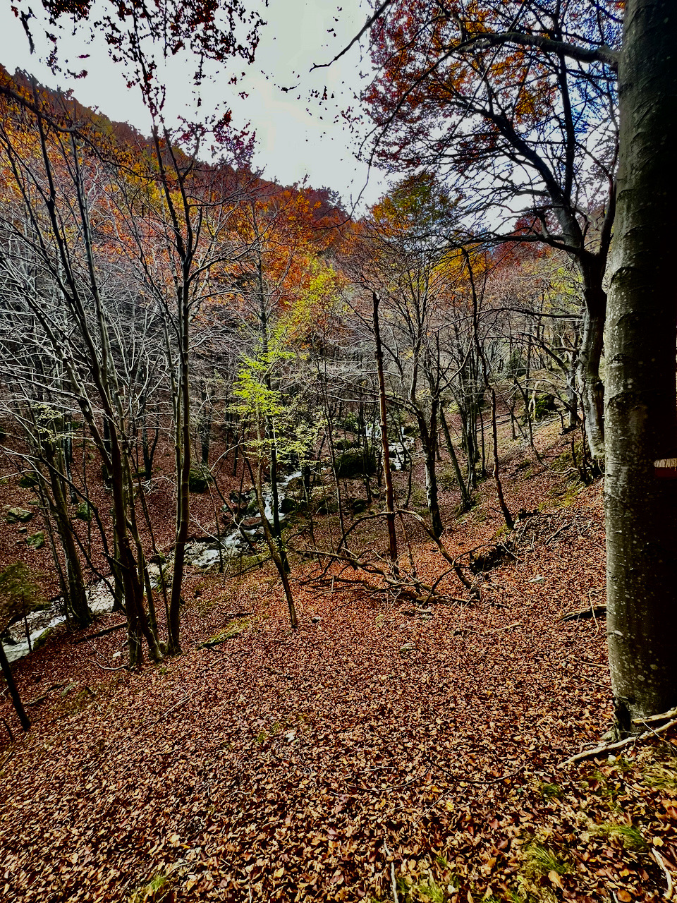
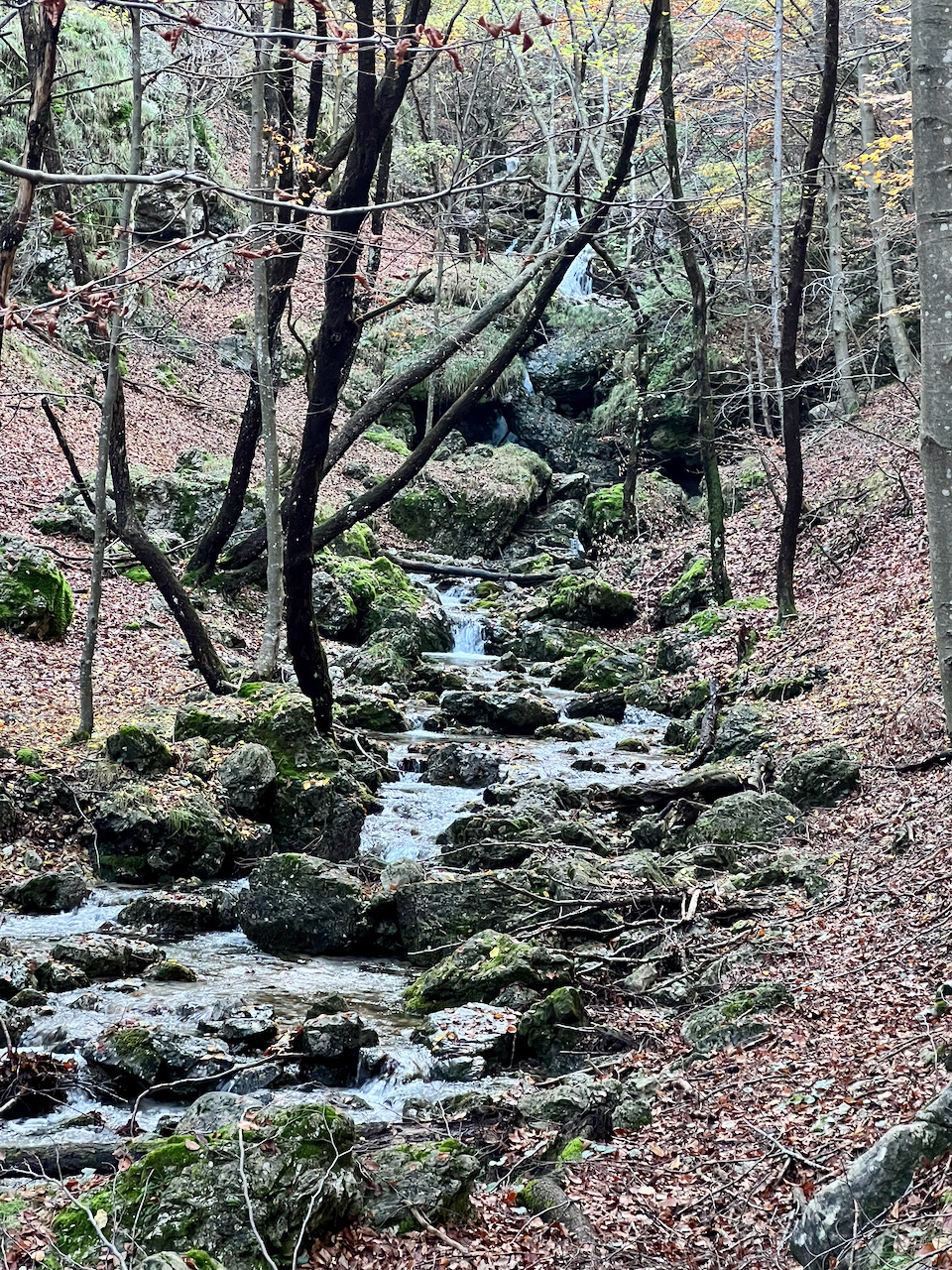
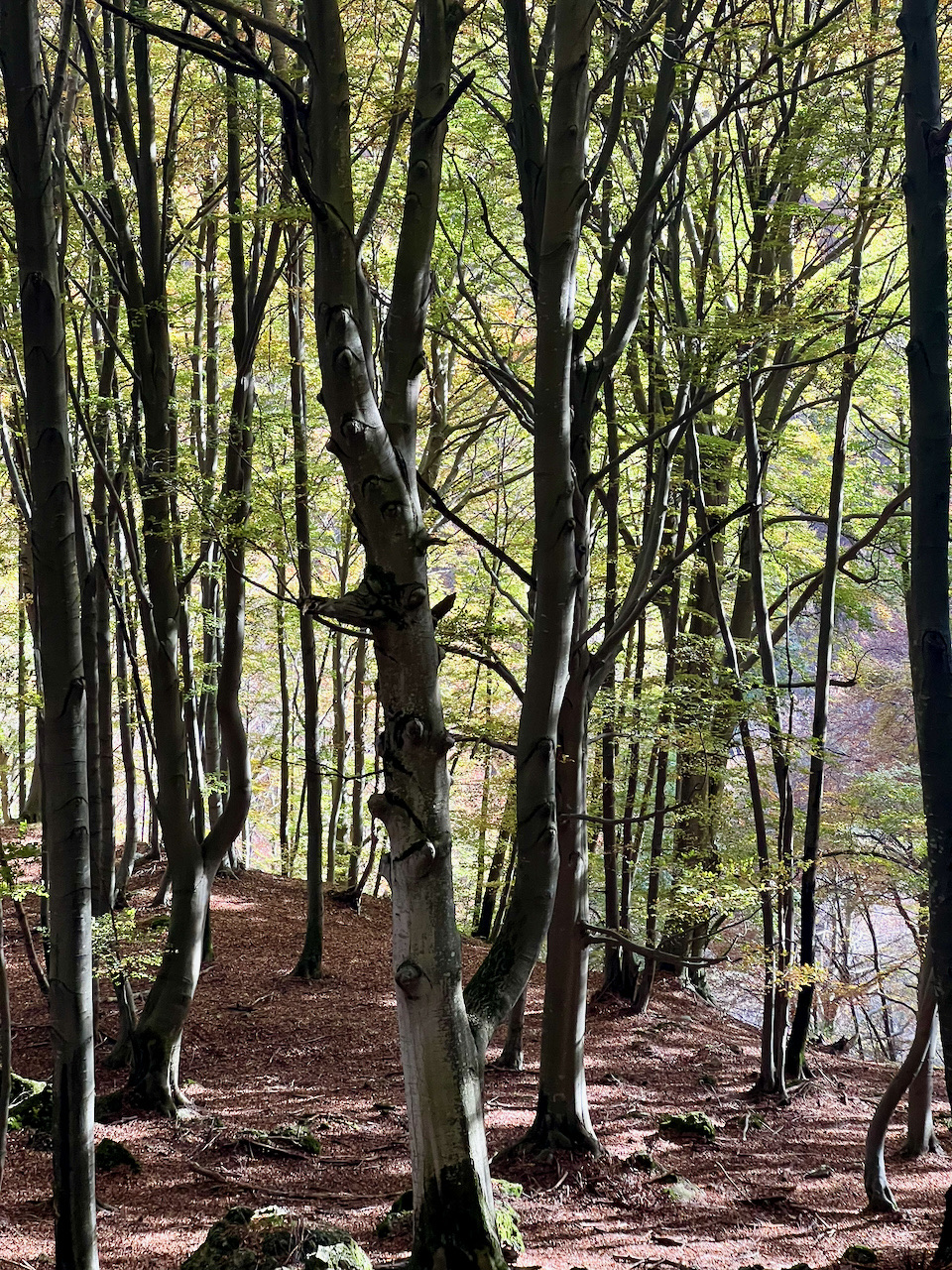
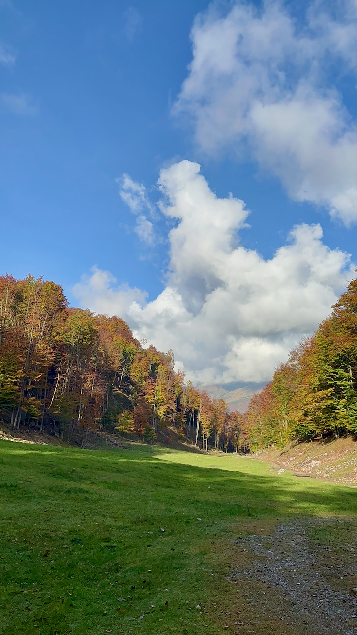
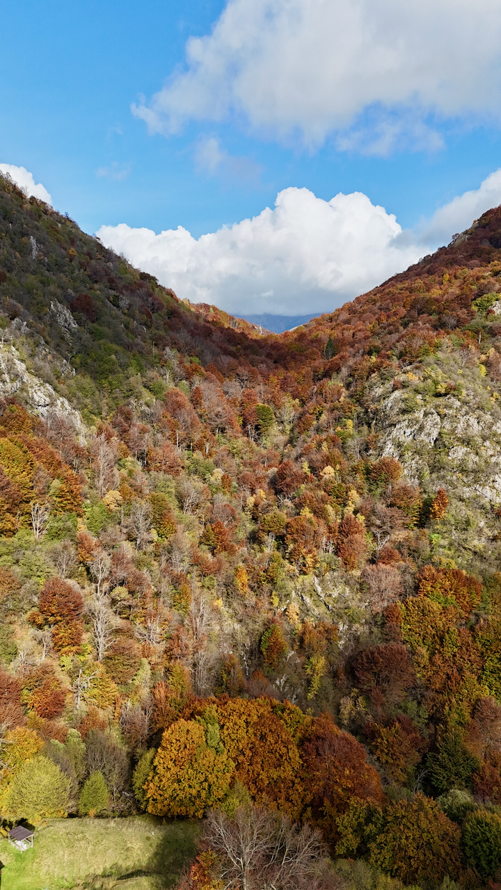
The ring between Rezzo Valley e Valsolda This is a medium-altitude route with a secluded, tranquil feel. The valley it traverses is narrow and enclosed between wooded slopes and rocky peaks with an almost Dolomite-like appearance. The view doesn't offer sweeping panoramas, but rather focuses on the cliffs and peaks that border the valley on either side, in an intimate, quiet setting, far from the beaten track. The woods that line almost the entire route are mostly beech, hornbeam and ash trees.
This loop can be done in both directions and doesn't require a shuttle or two cars. It presents no technical difficulties, but the constant ups and downs—over 500 meters of elevation gain over just over nine kilometers—require a minimum level of fitness and suitable footwear. The ideal time to visit is from late spring to late autumn, when the trails are free of snow. There are no refreshment points along the route, so it's a good idea to bring food; layered clothing is recommended, given the altitude and exposure.
Technical data sheet:
- Difficulty level: Hiking (E) — T2
- Physical commitment: ✱✱✱
- Distance: 9.2 km
- Travel time: 3:50 hours
- Difference in altitude: 514 m
- Minimum / maximum quota: 1,033 / 1,194 m
- Departure and arrival: Seghebbia (Val Rezzo) — circular route
- Water along the route: source at Alpe Riccola
- Municipalities crossed: Rezzo Valley, Valsolda
Route description:
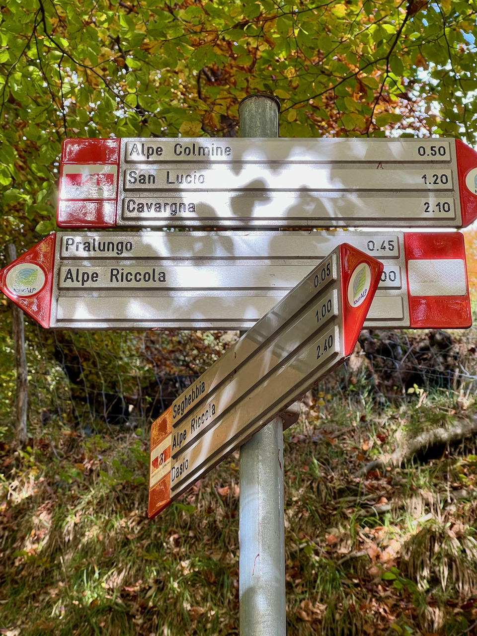
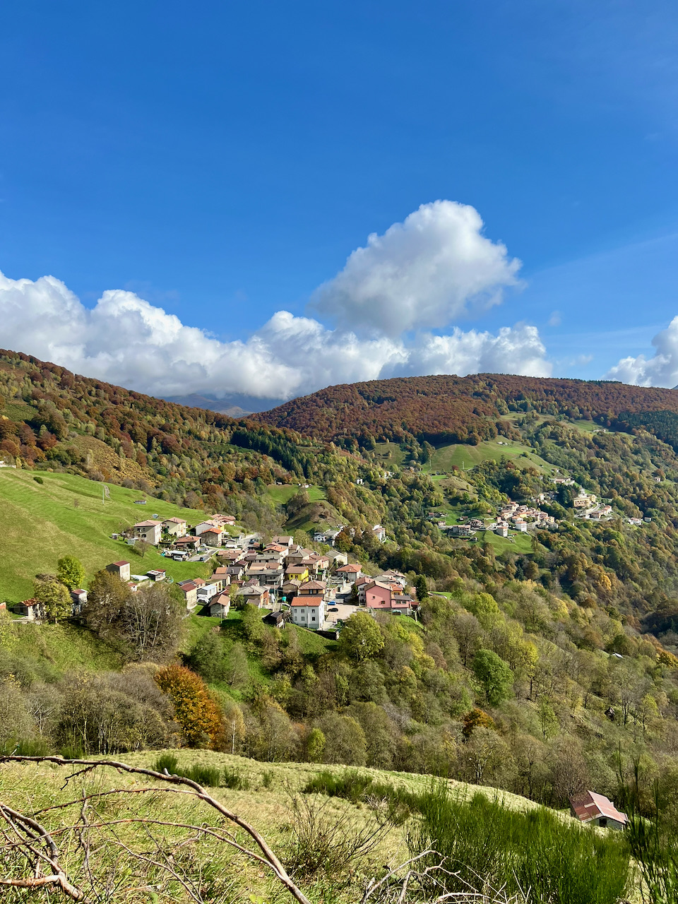
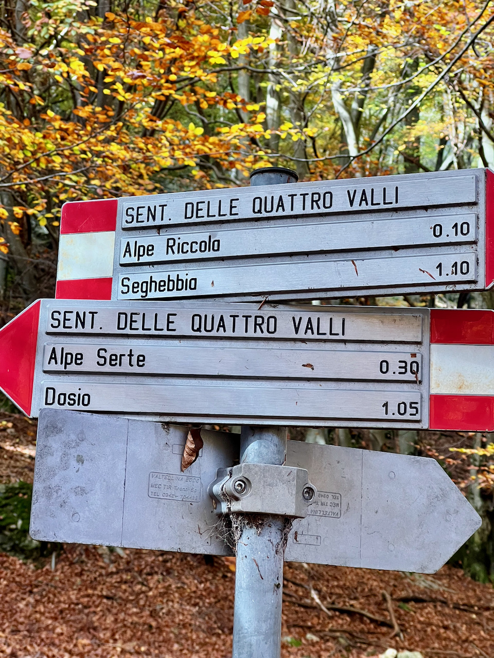
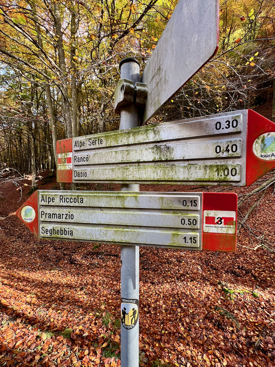
The tour starts from Sawmill, upper fraction of the Rezzo Valley, at an altitude of 1,111 metres, and immediately enters the narrow valley of the Narrow Pass, climbing with a gentle slope towards Pramarzio. Continuing at altitude, the trail goes up the valley between the Mount Regagno and the Mugetto Mountain and reaches the’Alpe Riccola, the only place where you can get water, in the stretch that faces the eastern borders of the Valsolda Reserve. From here the itinerary continues towards the area of Torione of Val Fiorina and of Pianasch, then folds back and starts the return journey, which in some sections retraces the same path as the outward journey along the marked paths (3, 3 crossed out and 4), until it brings back to Sawmill.
Images of the Route