Pinzernone Ring
Discover the Pinzernone Ring: on the trail of the Cadorna Line, between woods and lake.
Route characteristics:
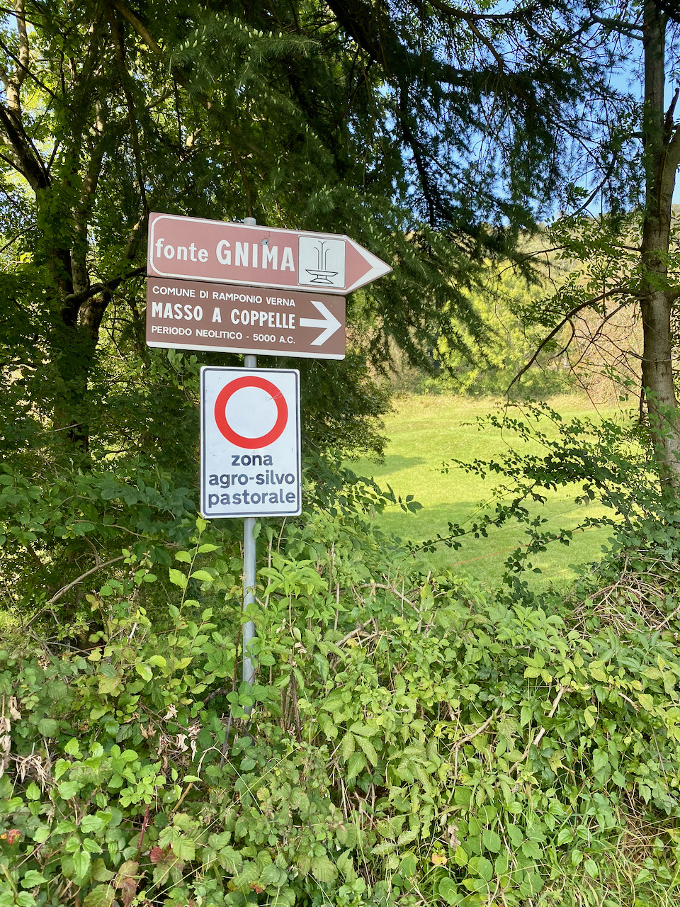
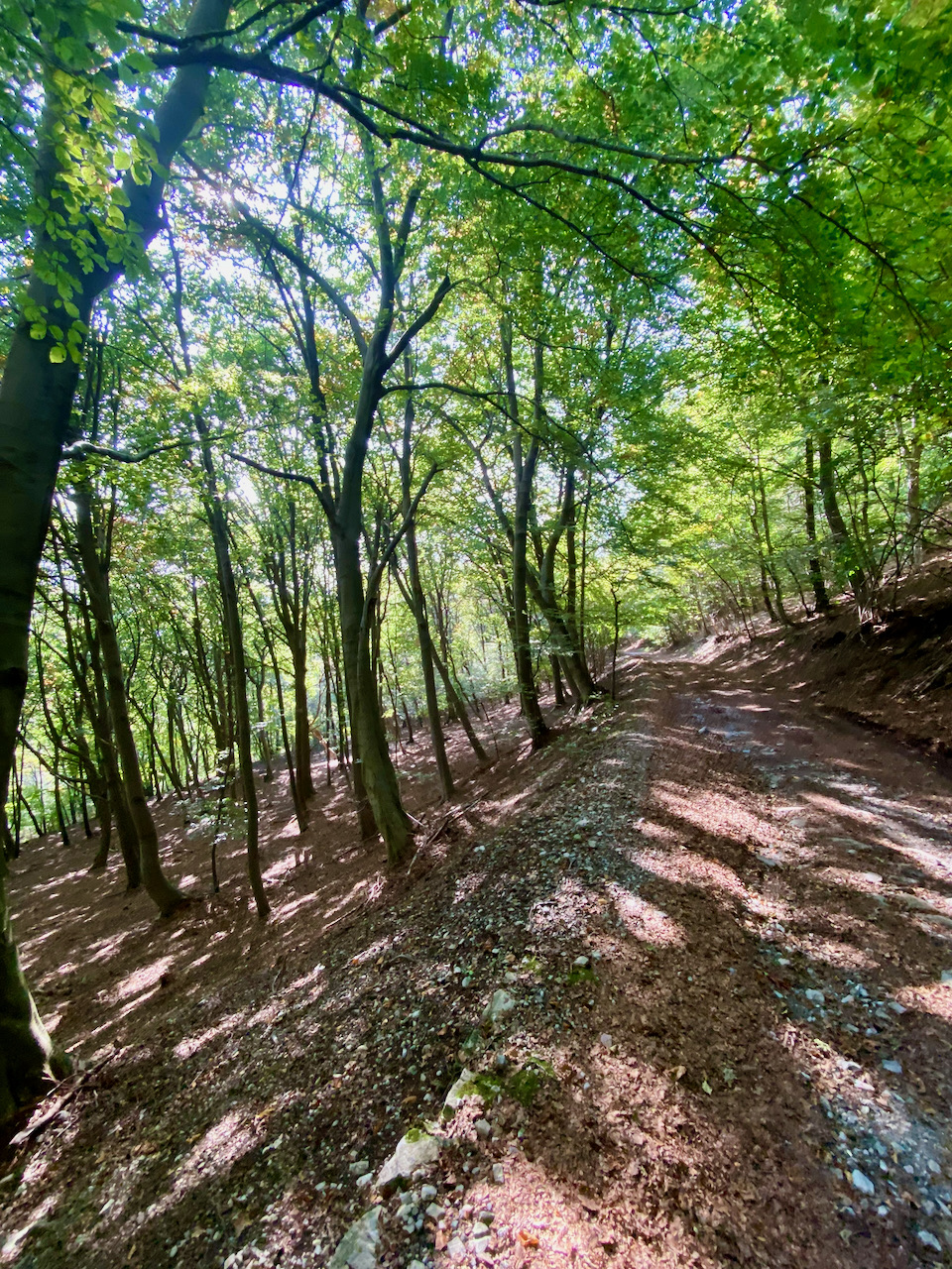
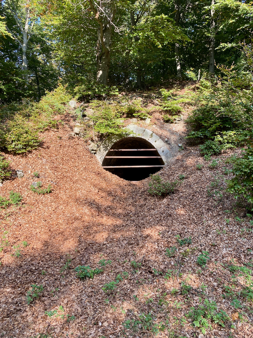
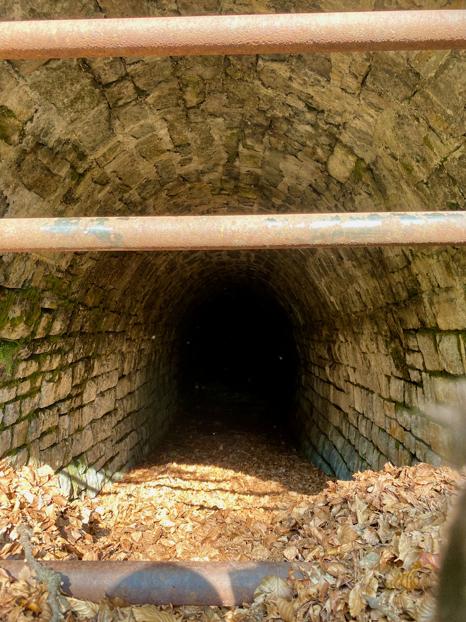
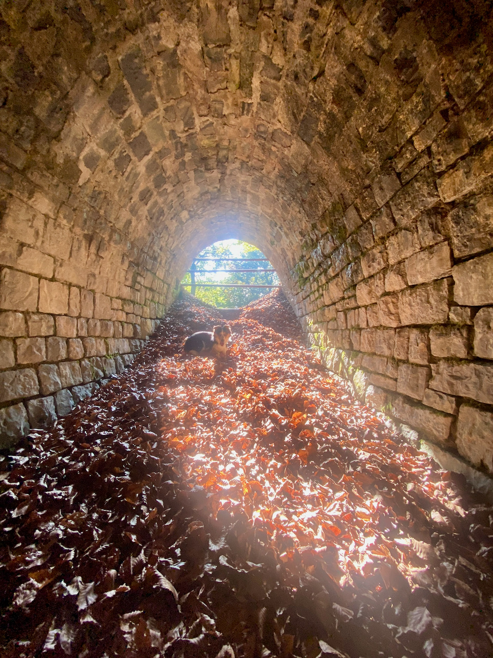
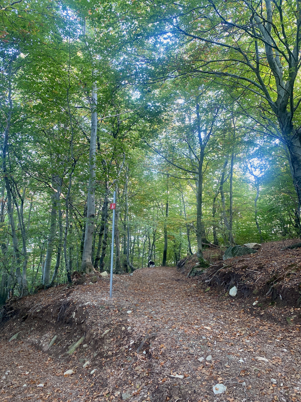
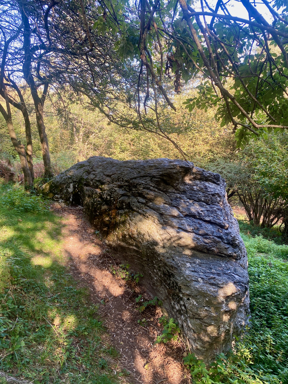
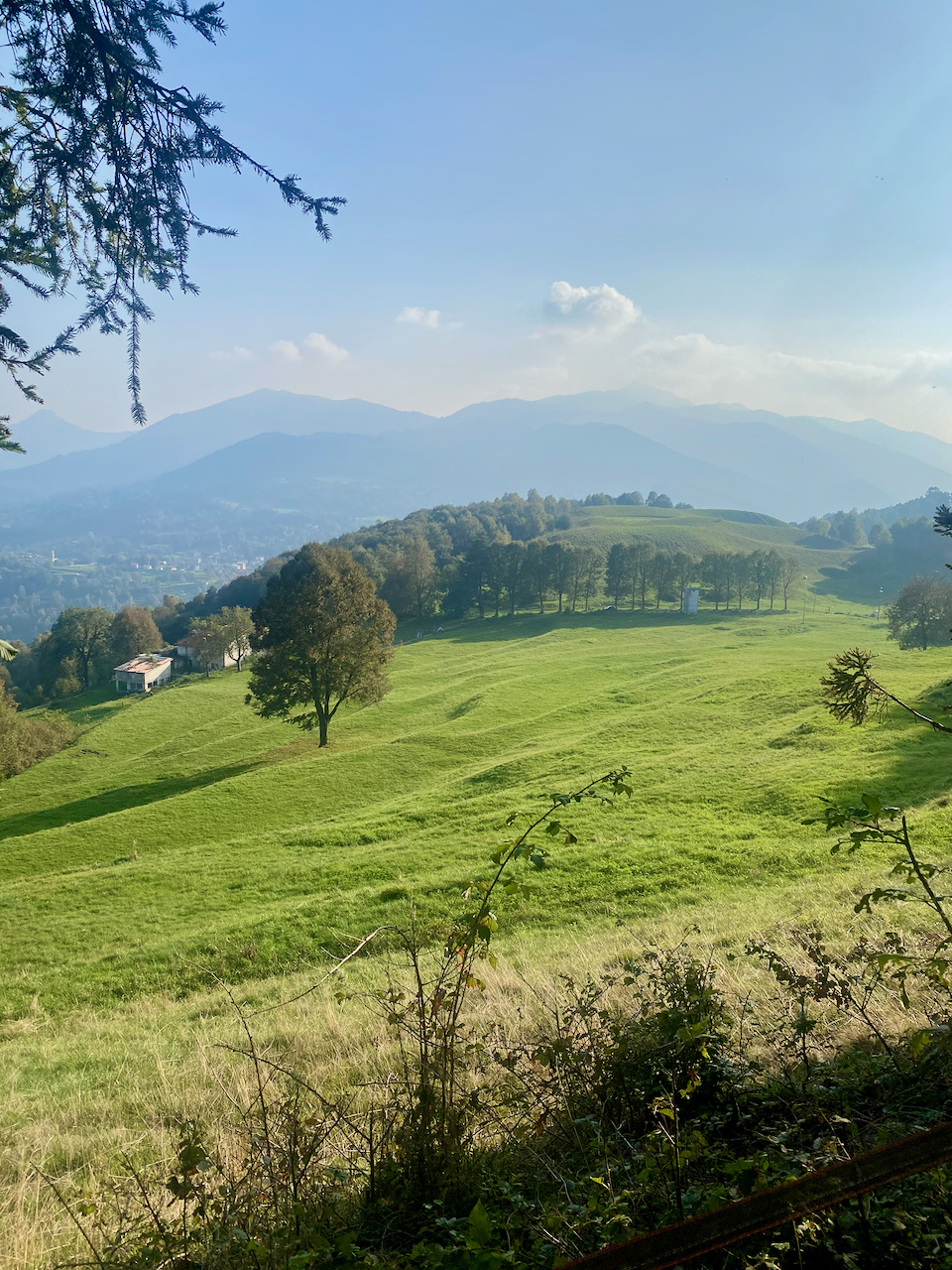
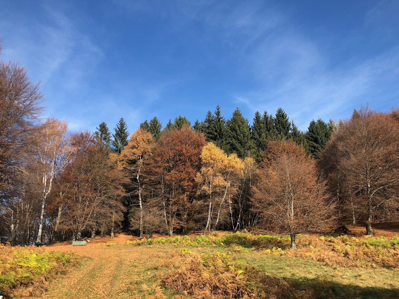
A medium altitude ring in the Alta Intelvi Valley, built around the Mount Pinzernone, one of the heights of the defensive system known as the Cadorna Line: the fortifications built along the border with Switzerland during the First World War. The Sighignola–Pinzernone line passed over Pinzernone, with artillery batteries aimed toward the Val Mara and the Melide bridge-dam. Near the military road and the summit, there are documented battery embankments, trenches, and a tunnel walkway, partly dilapidated evidence that tells a little-known chapter in the history of Lake Ceresio; the access to the tunnels is not part of the itinerary and entry is not recommended. The most scenic side is the north face, a route halfway up the mountainside above the Lake Ceresio, with beautiful views through the trees on the Valsolda and on the Gulf of Porlezza. In the eastern section the ring also meets the cup-shaped boulder of Ramponio Verna, a prehistoric site marked by an information panel.
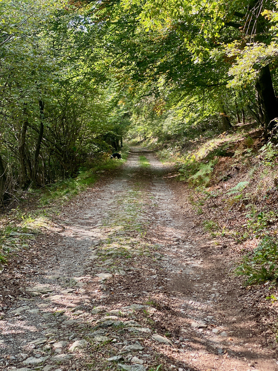
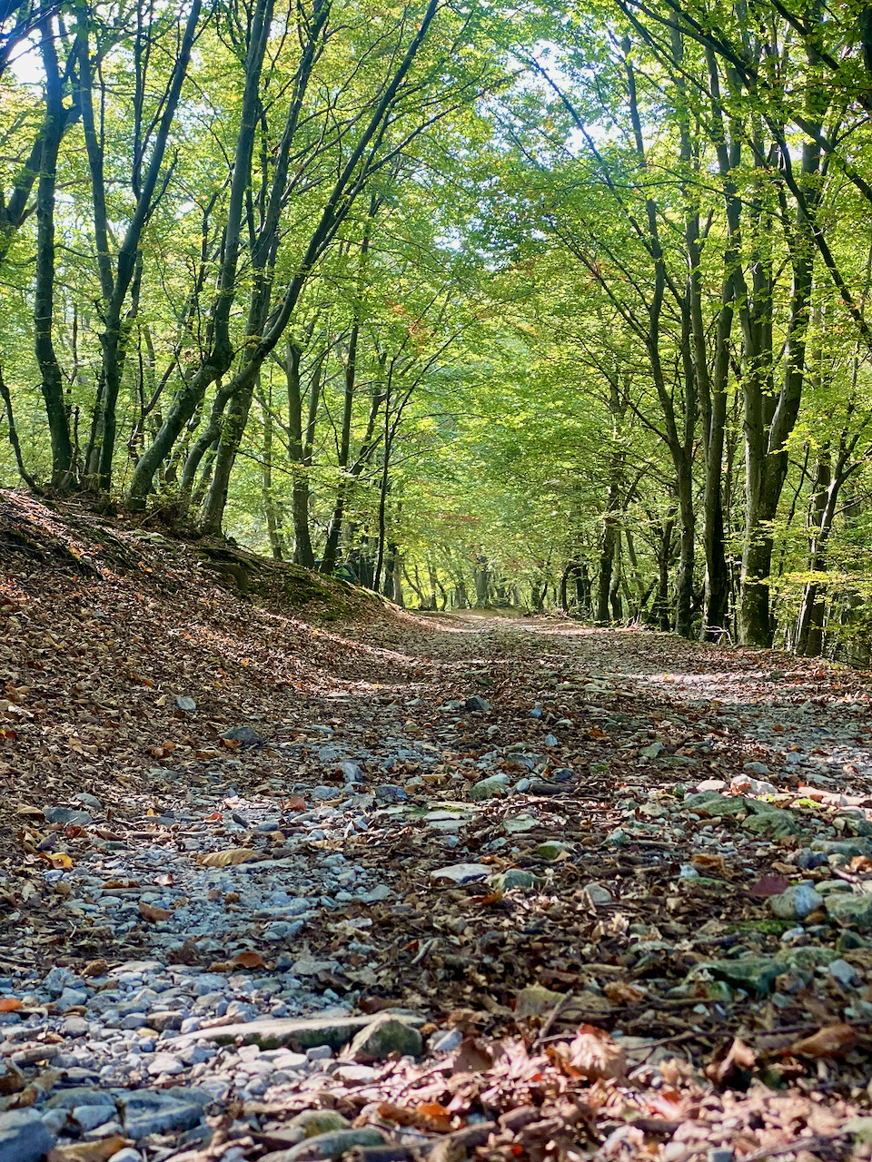
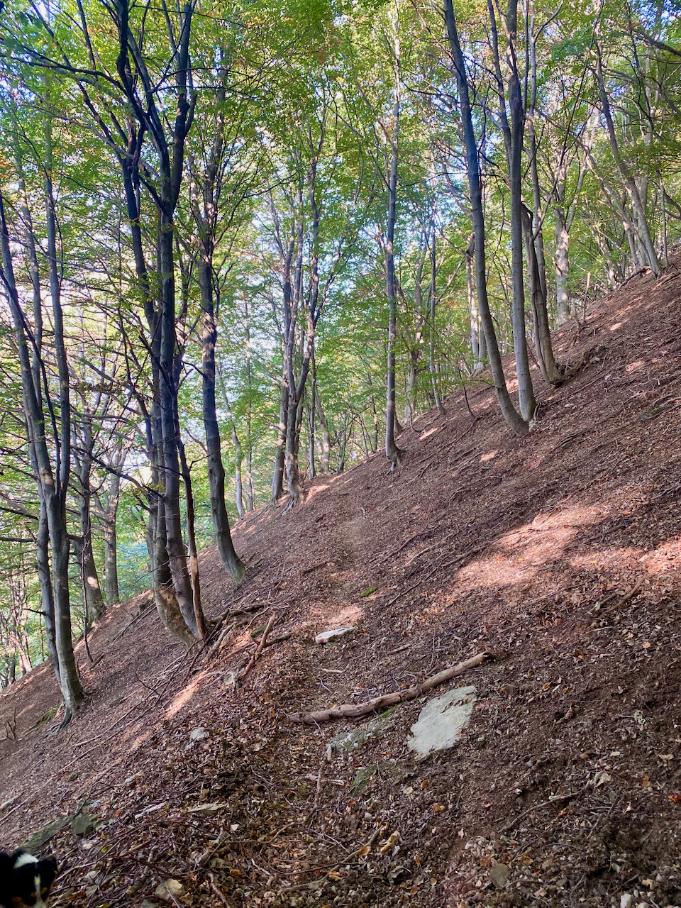
The route is a loop of approximately 6.4 km, starting and finishing at the same point, suitable for hikers accustomed to medium-altitude walking (difficulty E, T2 scale). The climb follows the switchback military road to the summit, where the road ends; the return journey alternates between a mule track and a trail. On the north side, the route follows a steep slope and narrows to a narrow path in short sections, requiring careful walking. Hiking boots and a supply of water from home are required.
Technical data sheet:
- Difficulty level: Hiking (E) — T2
- Physical commitment: ✱✱
- Distance: 6.4 km
- Travel time: 2:45 h (loop)
- Difference in altitude: +330 m / −330 m
- Minimum / maximum quota: 968 m / 1,169 m
- Departure and arrival: Upper Intelvi Valley (45.99487, 9.05288)
- Municipalities crossed: Upper Intelvi Valley
Route description:
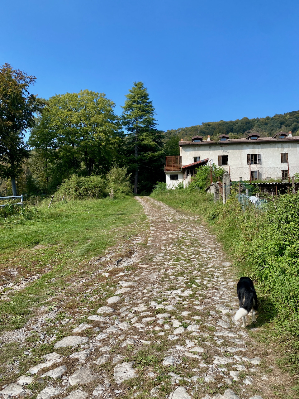
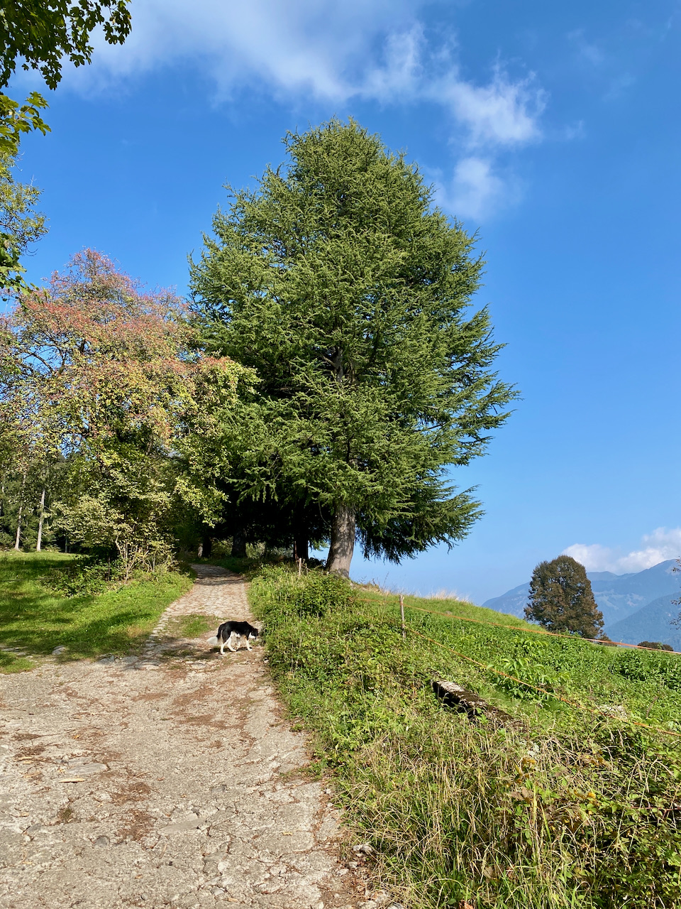
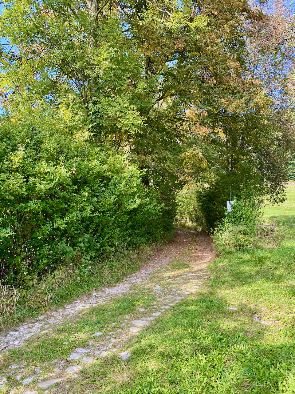
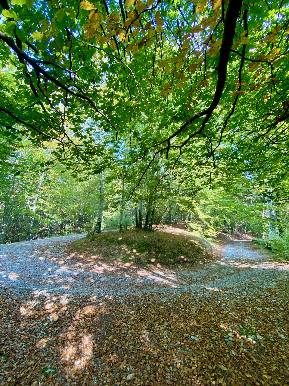
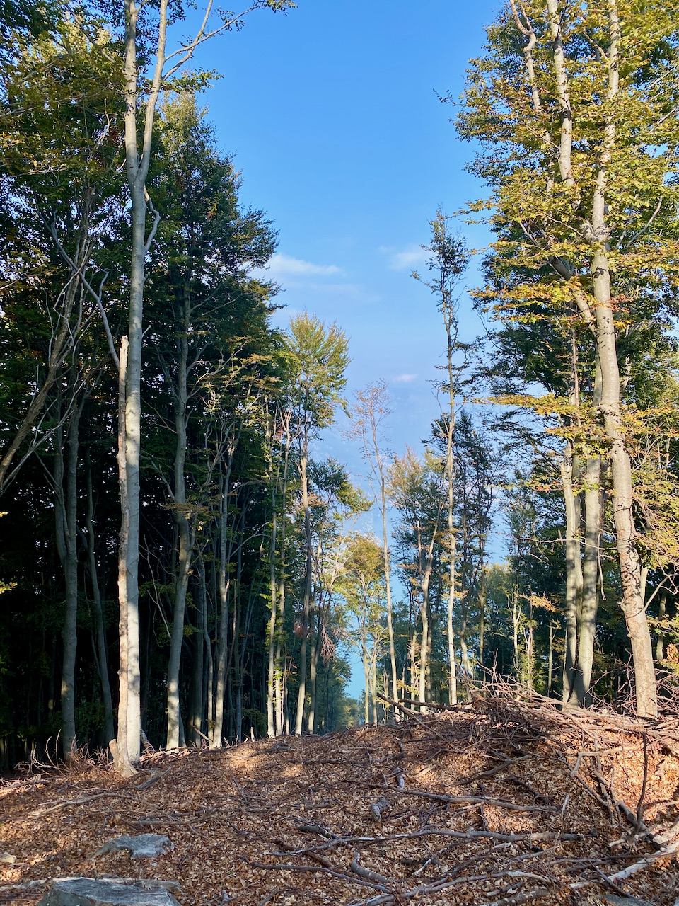
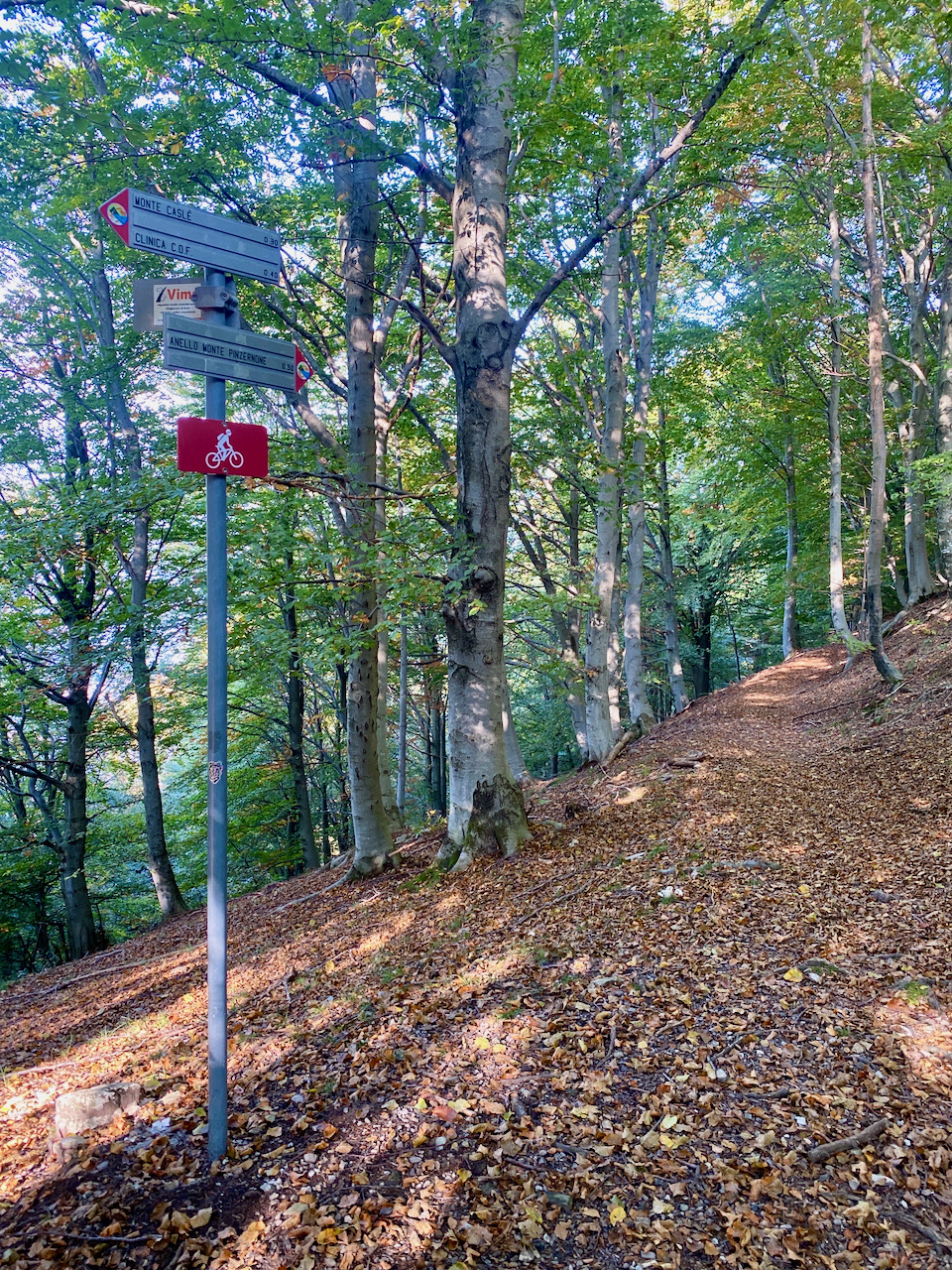
From the starting point, at 968 m, proceed westwards and take the military road which goes up the slope with a series of hairpin bends, up to the summit of the Mount Pinzernone (1,169 m), the highest point of the ring, where the road ends and where the tunnel walkway and the trenches to defend the summit are located. From the summit the route continues west and descends along the mule track up to about 1,000 m, then turns north and returns east halfway up the steep slope northern side, which descends from the summit to Lake Ceresio. Here you walk among the trees with a view of Valsolda; for short stretches the path becomes narrow, then becomes wider and more comfortable in the sections facing the Mount Pizzone, overlooking the Gulf of Porlezza. In the eastern section you reach the cup-shaped boulder, marked by an information panel. The final section descends the eastern slope and closes the loop at the starting point, retracing the outward route for about 130 meters.
Images of the Route